Outstanding Facilities
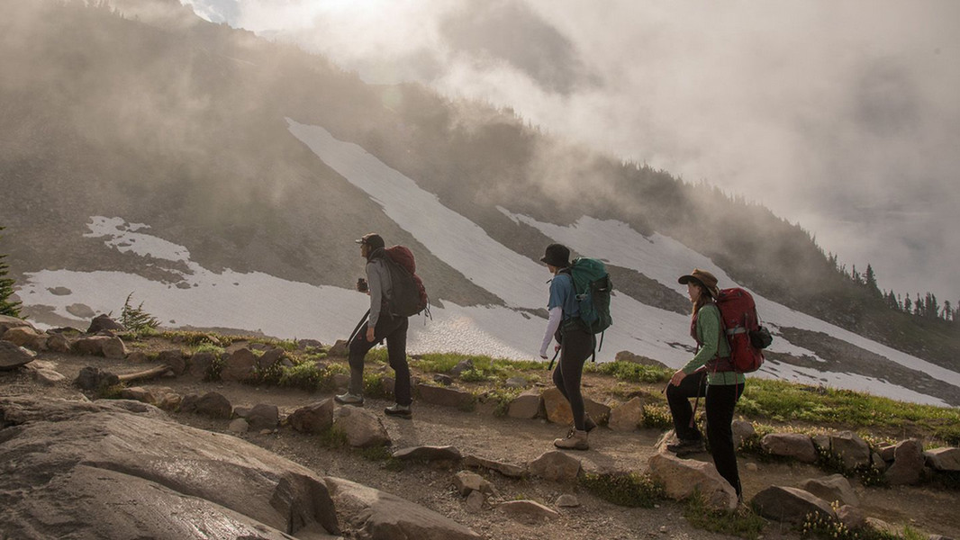
The Department of Geological Sciences at CWU offers undergraduate and graduate degree programs in the geological sciences. Emphasis is placed on stimulating classroom, laboratory, and field experience with dynamic faculty members whose teaching and research interests span across the geologic research spectrum. CWU Geology is proud to offer abundant undergraduate and graduate research opportunities. Department faculty maintain active and internationally recognized research programs with expertise in a wide range of geological sciences. Several Washington Geological Survey (WGS) employees are stationed within our department as a collaborative project to conduct geologic mapping and related research in central Washington to address state and national needs on topics such as seismic hazards, landslides, water resources, and renewable energy. Our partnership with WGS provides student volunteer and internship opportunities related to this work.
Murdock Research Lab
The Murdock Research Laboratory (MRL) is housed in the Department of Geological Sciences and hosts multiple state-of-the-art instruments and expertise in a range of analytical techniques. The facilities are open to researchers for collaborative or non-collaborative access and for commercial access. The expert academic, technical and professional staff support the facility users from initial contact and project development, through to sample preparation, instrument training, data processing and interpretation for publication.
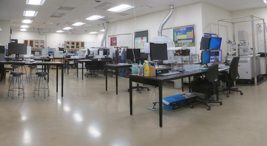
The Laboratory contains instruments than can analyse solid and liquid samples, and support a variety of techniques to collect high resolution images, and measure the elemental concentrations, isotopes, and crystallography of a wide range of samples. Details of the full range of instruments in the Lab supporting, and the techniques they support are available in the Techniques section of its web page.
Pacfic Northwest Geodetic Array (PANGA)
The Pacific Northwest Geodetic Array (PANGA) comprises ~350 continuously operating, high-precision GPS receivers located throughout the Pacific Northwest and greater Cascadia Subduction Zone along with an interdisciplinary team of hazards research faculty at Central Washington University. Data from these receivers is continuously downloaded, analyzed, archived and disseminated by the Geodesy Lab as part of the geophysics and hazards mitigation research programs within the Cascadia Hazards Institute at Central Washington University, while roughly a dozen faculty groups are engaged in using these and other measurements for policy development, education and outreach throughout the Pacific Northwest.
The Laboratory's primary scientific role is to support high precision, real-time geodetic measurements using Global Positioning System (GPS) observations in order to characterize crustal deformation caused by plate tectonic and other forces; coastal earthquake and tsunami hazards; real-time earthquake and tsunami characterization, and other environmental science applications. Under contracts from the National Science Foundation (NSF), the National Aeronautics and Space Administration (NASA), the U.S. Geological Survey (USGS), and the National Oceanic and Atmospheric Administration (NOAA), the lab analyses all publically shared GPS data within the Cascadia subduction zone and greater Pacific Northwest. In addition, the Lab also analyzes data from roughly 2000 GPS stations that compose the EarthScope Plate Boundary Observatory, whose stations span the Pacific-North American tectonic plate boundary from Alaska to Mexico.
CWU News
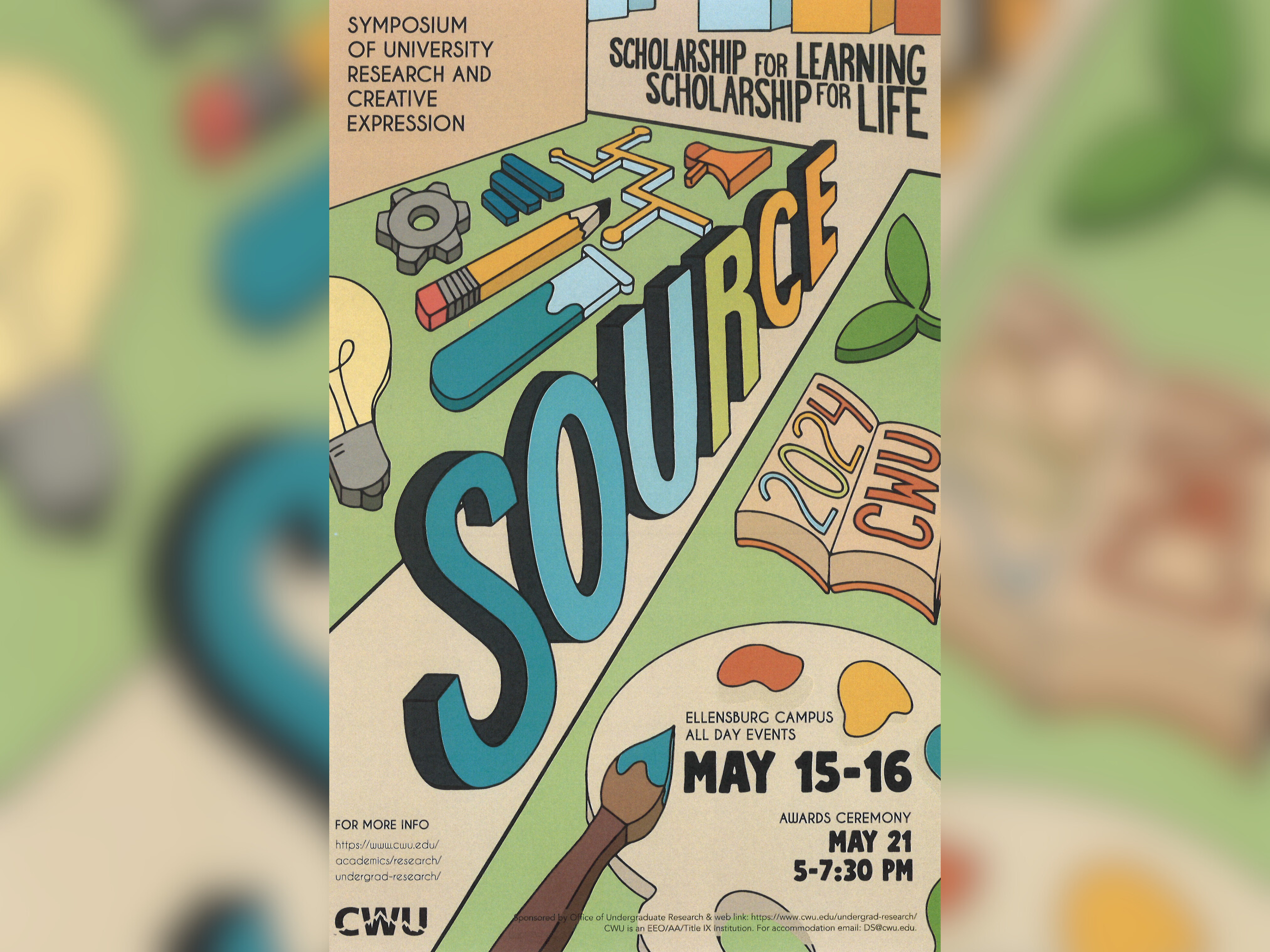
CWU to highlight student research at next week’s SOURCE conference
May 8, 2024
by Rune Torgersen
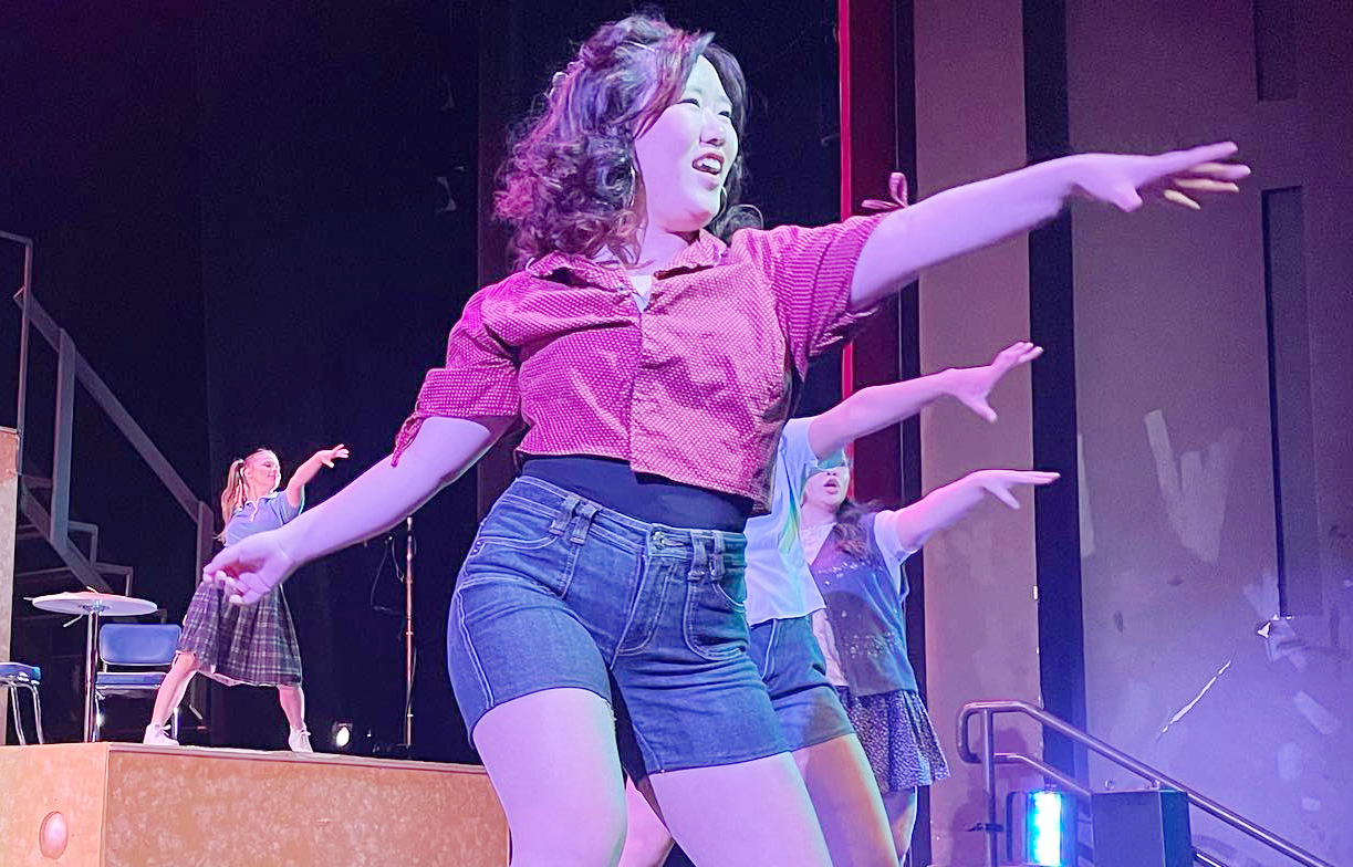
CWU Theatre and Film to present ‘Footloose’ the next two weekends
May 8, 2024
by University Relations