Geography
Research Resources
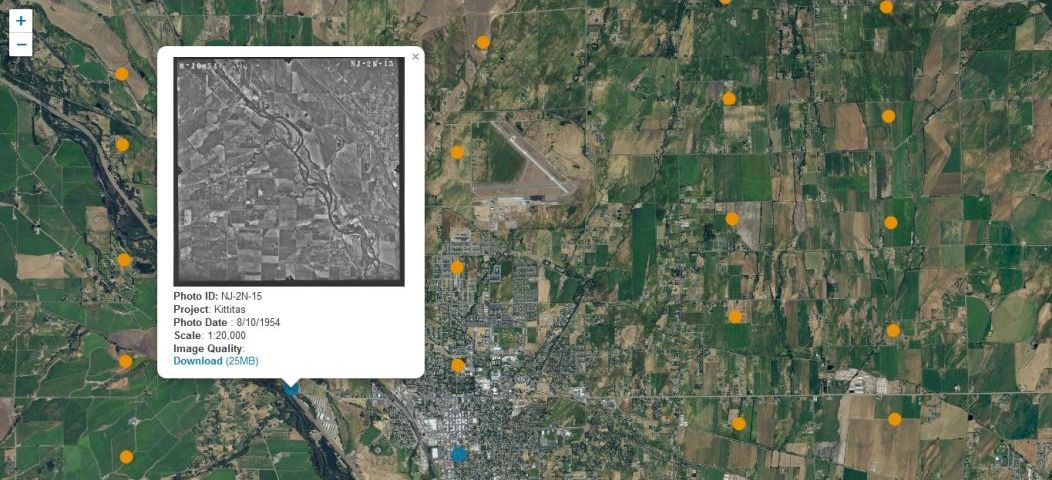
Central Washington Historical Aerial photograph Project
The Central Washington Historical Aerial Photograph Project allows researchers to easily locate, view and download photographs from the historical aerial photograph collection of the Department of Geography at Central Washington University
Search for historical airphotos
Geography YouTube Channel
The Central Washington University Geography Youtube Channel has informative videos about classes offered by the department, tutorial videos describing GIS analysis processes, and acts as a repository for the geographic interests of our faculty and staff.
Check out our Geography YouTube Channel!
Yakima Basin Integrated Plan Groundwater Research
This website hosts data and reports related to groundwater resources in central Washington state. These datasets were created by or for stakeholders in the Groundwater Subcommittee of the Yakima Basin Integrated Plan (YBIP). It will include written reports, as well as spatial data files that can be used in geographic information systems (GIS). The datasets are made available here in the interest of transparency and open science.
Visit the Yakima Basin Integrated Plan Groundwater Research website.
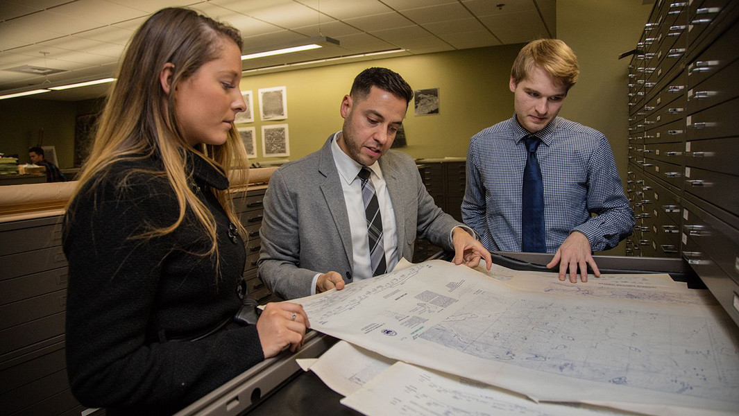
Faculty Map Library Search
CWU News

Douglas Honors College at CWU to celebrate 50 years (part 1)
July 15, 2026 by Tran Nha Pham

CWU professor saving lives in Cameroon through his love of soccer
July 13, 2026 by Rune Torgersen