Geography
Geography, BS—GIScience Specialization
About the Geographic Information Systems (GIS) Science Specialization
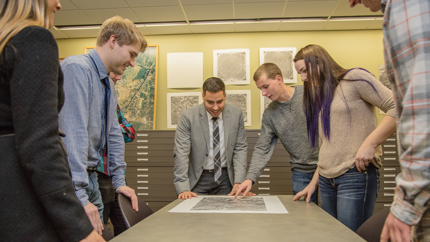
Our Geographic Information Systems (GIS) bachelor's degree focuses on the study of the Earth's surface and the spatial relationships between human and natural phenomena. GIS is a technology that helps in the collection, analysis, and interpretation of spatial data. You will learn about cartography, remote sensing, spatial analysis, and database management. We emphasize practical experience, utilizing GIS software to create maps, analyze data, and solve real-world problems in environmental planning, urban development, disaster management, and other fields.
Visit Department WebsiteWhy Study GIS Science at CWU?
We emphasize practical experience, utilizing GIS software to create maps, analyze data, and solve real-world problems in environmental planning, urban development, disaster management, and other fields.
GIS skills are in high demand across many different industries. You'll gain valuable skills and knowledge that can make you a highly competitive candidate in today's job market. Our GIS program is designed to give you plenty of practical experience working with the latest technology and software, including ArcGIS and other industry-standard tools.
Where is this program offered?
How much does this program cost?
Explore information on Cost, Aid, and Value to make an informed decision about investing in your education at CWU.
Where can I find more information?
Please visit the CWU Academic Catalog for current information about admission requirements, course descriptions, learner outcomes, and credit information.
Careers and Opportunities
A GIS Specialization can open doors to a wide range of careers, including GIS analyst, cartographer, urban planner, environmental scientist, and many others. Our program will prepare you for a variety of career paths and help you explore your options.
- GIS Analyst: As a GIS Analyst, you will use your knowledge of GIS and spatial data to create maps and analyze data for a variety of applications, such as urban planning, environmental management, and public health.
- Cartographer: Consider using your skills to design and produce maps for a variety of purposes, like land use planning, environmental monitoring, and transportation.
- Urban Planner: Use GIS to analyze and plan land use and transportation systems in urban areas. You could work for a city government, a consulting firm, or a non-profit organization.
- Surveying and Mapping Technician: As a Surveying and Mapping Technician, you will use GIS to collect and analyze data to create maps and other geographic products for a variety of purposes.
Take the Next Steps

Visit Central
![[icon alt text]](https://cwu-staging.ewaycorphosting.com/_img/book.svg)
Admissions & Aid
![[icon alt text]](https://cwu-staging.ewaycorphosting.com/_img/compass.svg)
Interested in CWU?
Highlights
Best in Class
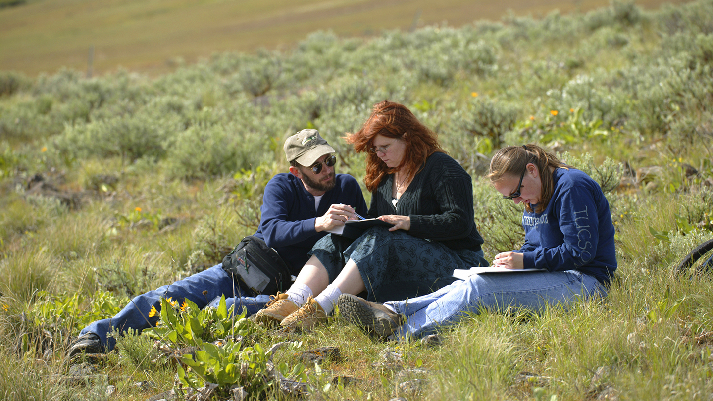
CWU’s Geography Department boasts one of the most advanced Geographic Information System (GIS) research laboratories in the Northwest. Students and faculty members can conduct research in a biogeography lab, a soils lab, and a hydrology lab.
Just for Geography Students
The Geography department at CWU is fortunate to offer a variety of scholarships to students pursuing their degree. Take advantage of the numerous Scholarship Opportunities.
Related Programs

Majors
Actuarial Science, BS
Get ready for high-demand actuary careers with CWU's Actuarial Science, BS. Prep for professional exams today.
Majors
Anthropology, BA
Learn about the benefits of an Anthropology Major from Central Washington University.
Questions? Contact Us.
Department of Geography
Dean Hall 301