CWU scientists want Pacific-wide network monitoring quake risks
- February 28, 2014
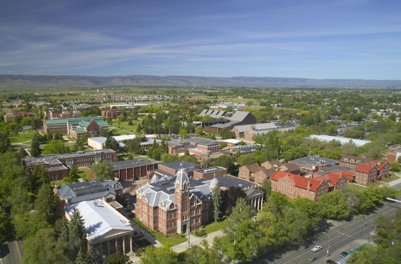
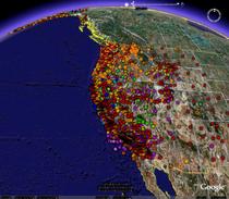
The campus of Central Washington University is headquarters to one of the largest global positioning systems that studies earthquake risks.
The PANGA geodetic array monitors in real time 500 GPS stations around the Pacific Northwest that track in monitor in detail the compression of the West Coast along a fault line believed capable of a magnitude 9 earthquake.
A GPS network in Japan closely tracked the Tohoku earthquake that struck northeastern Japan on March 11, 2011, which killed 23,000 people. Most died not from the shaking, but from the tsunami waves generated by the quake.
The problem, says CWU seismologist Tim Melbourne, is that the GPS networks aren't sharing their data, and he wants to see that changed.
See more of this story at Northwest Cable News.
Story by Glenn Farley/KING5 News
CWU News

Arts and Humanities Month continues to build momentum
October 21, 2026 by David Leder
New position at CWU-Des Moines aimed at improving student experiences
October 21, 2026 by David Leder